The 2nd part of the Walk
"Sendero Camino de la Cuesta" from "Ermita de San Miguel" to the Source of the river "Nacimiento del Rio Molinos" through the gardens of
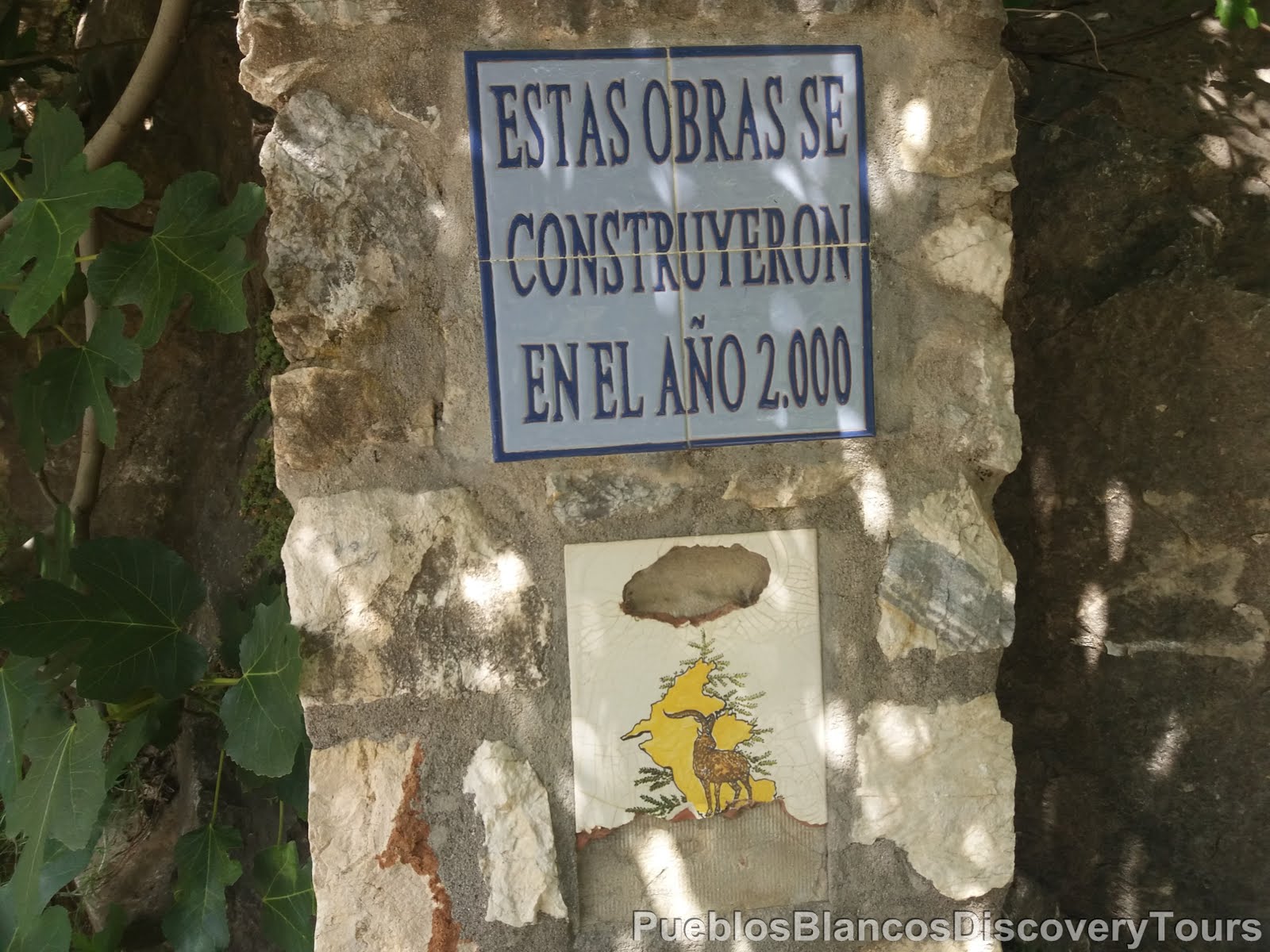
"El Coto" and back to Istán.
"Sendero Camino de la Cuesta" from "Ermita de San Miguel" to the Source of the river "Nacimiento del Rio Molinos" through the gardens of
"El Coto" and back to Istán.

Prologue:
We started our walk at the village and followed a footpath down and along the lake La Conception. The route then lead us to the Hermitage of San Miguel, the patron of Istán, located about 2 km from the village near the main Marbella -Istán road.
From here we followed the Camino de Ermita back to the village, which is a very scenic service road starting near the viewpoint high above the park.
Having reached the north end of the village near the sports ground, we took a short walk to the source of the river "Nacimiento del Rio Molino" There you can see water gushing out of the rock and forming a cascade under the road.
We then took the pathway which leads us along an ancient irrigation canal and through a botanical garden, to the village centre.
The 1st part of the walk is described in the previous post: Click on link >>>
A circular Route from the village of Istán to the La Concepción Reservoir, Sendero Camino de la Cuesta PR-A 137
Remark: The walk of "Paraje El Coto" and the "Nacimiento del Rio Molino" as well as the scenic walk to and from the "Ermita de Istán" with its recreational park are especially recommended for families.

The recreational park of Ermita de San Míguel is set on a steep hillside near to the main road leading to the village. You will find many picnic tables and special viewpoints where you can enjoy the natural surroundings and the fantastic scenery.


The hermitage is set in the natural cavity of a rock, that hosts
Istán's Patron Saint: San Miguel Arcángel.

The Archangel (Greek for the leading angels) Michael (Hebrew for Who is like God) is the head of the armies of God and protector of the Church.
The holiday of St. Michael on September 29th coincides with the end of summer and the beginning of autumn. What we call the Indian Summer, for the Spanish it is the small Summer of the Archangel or St. Micheal (Veranillo de San Miguel).
Information taken from the board.
The following information board tells you all about the tradition of the Thyme festival.
"La Tomillería"
"La Tomillería"

The Tomillería is held on the Sunday prior to the 29th of September. It is named so because of the amount of thyme bushes which grow around the perimeter of the chapel and along the path. The pilgrimage from the village to the chapel of the patron of Istán was an achievement of the village youth in the seventies. It was their idea to organize a festival in honor of St. Michael. The first Tomillerías were made on the backs of donkeys and the Tomillerios wear traditional costumes.

There is even a stone brick barbecue area that can be used at certain times of year (due to fire risk).

Higher up the panoramic views are stunning.

The 1st lookout of Istán's Hermitage
Mirador de la Ermita de Istán I

La Concepcíon is also known as the Rio Verde Reservoir, it was built in 1971 and it supplies the 450 000 inhabitants of the Costa del Sol with drinking water.

La Concepcíon Reservoir :
Volume: 56hm3
Surface Area: 214 ha
Altitude above sea level: 106,55 meter
Height from riverbed: 89,55 meters - 70 meters

This view takes you south along the lake and towards the coast.


At the highest point of the park is the 2nd lookout.

Mirador de la Ermita de Istán II

The visit is a must,
because the whole panorama is magnificent from here.

At the Mirador you will find information boards explaining to you the make up of the Sierra Blanca and about the Sierra Bermeja. On the map the various mountains and hills are named, which you are able to see from this point.


Deep down the lake "La Concepcíon"

and along the mountain side towards the left and high above you, the Sierra Blanca.

Called the White mountain, because the white lime stone rock is exposed, through lack of vegetation. Its highest points are;
Pico del Lastonar (1275 m), Pico de la Concha (the Shell) (1270m)

You are facing the west side of the Sierra Blanca. The mountain occupies 6.472 hectares and is part of the European Union's Nature Network. Among its outstanding environmental values are its forest vegetation, such as the Spanish fir (Pinsapo), chestnut trees (Castaños), Holm oaks (Encinas), Junipers (Sabinares endémicos), mixed with olive trees and heather. Many wildflowers and endemic orchids (Orqídea) are also very common.
The Sierra Blanca is an important point for migrating birds since it's located near the Straits of Gibraltar. The diversity of birds which can be observed is very high. One of the highlights is the presence of breeding pairs of Bonelli's eagle, Golden eagle and Peregrine falcon. The Spanish Ibex (Cabras del Monte) are also abundant in these mountains and the Andalusian roe deer (Corzo Andaluz) is increasing its presence.
Information taken from the board.

You are looking at the reservoir of La Concepción or Rio Verde (Green River), which supplies water to the Costa del Sol. The Sierra Bermeja and Sierra Real mountain ranges, are part of the European Union's Nature Network with an area of 30.932 hectares. These mountains extend from the reservoir, along the coast to Estepona and penetrate into the Serranía de Ronda (mountains of Ronda). The mountains consist of the Sierra Bermeja, Real, Palmitera, Apretaderas and Trincheruelas.
Information taken from the board.

Sierra Bermeja and Real both have a volcanic origins. It comes from the slow cooling of magma inside the earth (plutonic igneous rock). Its crimson color is due to the formation of minerals, that on the surface are oxidised and become red. These minerals form rocks called peridotites, rich in metals, especially chromium. The exploitation of mineral deposits was very common in these mountains. Sierra Bermeja and Real is the largest and most important outcrop of peridotites in the Iberian Peninsula.
Information taken from the board.

The Peridotites create a habitat that is home to great biodiversity with numerous endemics. One of its main features is the existence of Spanish fir forests. You can visit them at the top of Los Reales (Sierra Bermeja) or Plaza de Armas (Sierra Real). Among other hiking trails that leave from Istán, be sure to visit the one which will take you to the Castaño Santo (Holy Chestnut Tree). This is a spectacular tree 24.5 meters high whose stem has at its base a perimeter of 21.5 meters. It is estimated to be over 800 years old, under its branches, a number of historical episodes have evolved.
Information taken from the board.

We retreat our steps and follow the sign towards Istán (1,2 km).


A last look back and towards south/west and the Mirador II

A service road leads along the hillside to the north side of the village.

The view west across the village and towards the mountain Sierra Real.


Having reached the end of the road near the sports complex various information boards give you hints of other wonderful walks or hikes you can do from here.

Sendero Ermito de San Miguel, the one we came from,
Sendero Pico de la Concha, this one is a bit challenging because of the steep terrain.

And a long distance walk 8,6 km from Istán to Marbella.

Ahead of us the rocky hill of "Cerro de la Zahina".

We are at the foothills of the Sierra de las Nieves (Snowy mountains nature reserve).


About 200 meters from the village you will find the Source of the river Rio Molino.

It is a secluded natural spot, where water is the main feature. In the year 2000 a small park was created where the spring water was channelled along and across the road to form a waterfall.


It is a very relaxing tranquil place.

At a spout you are able to refill your bottle with spring water.

The whole year round water is running along these channels.

The cool water is very refreshing.

The sweet scent of the Oleander bushes fill the air.

High above us the rocky hill of "Cerro de la Zahina".


Welcome to the El Coto site in Istán. You are in a magical place where you will be able to feel the essence of Mediterranean forests. Here the vegetation forms a true botanical garden. You will be enwrapped by the aromas of plants, smell the wet earth, hear the sound of water and listen to the singing of birds. You will feel like you have travelled into a primordial forest without having to move more than a few meters from the village.
Information taken from board.

El Coto consists of an ancient network of Moorish ditches that were used to transport water from the source of the Molinos river and irrigate the orchards that are below the site. An old water tank also stored the supply for the village. The orchards and terraces together with the forest are perfectly integrated in the landscape, showing that a sustainable use of natural resources is possible.
Information taken from board.

Currently the botanical gardens of El Coto have been transformed into a recreational area equipped with trails and bilingual information boards for your enjoyment.


A view across an orange orchard.

In the lush valley many small farm houses are set among their vegetable fields.

The light filters trough the bright green foliage of that old walnut tree.
 |
| Walnut tree (Nogal) |

From April to June the pomegranate trees are full of beautiful red flowers.
 |
| Pomegranate, el Granado |

A view along the path towards "Cerro de la Zahina".

Cork oak trees grow alongside the walkway.
 |
| Cork oak, Alcornoque, (Quercus super) |

 |
| Yellow thistle, Cardo amarillo |
 |
| Snap dragon, Boca de Dragón |
 |
| Pink Rock rose, Jara Rizada (Cistaceae) |


The fountain water is fit for drinking.


You find various benches along the way to have a rest and take in the surroundings.


The sign tells you to explore your senses and asks you to look for the herbal plants like,
Spanish Lavender, Apple Mint, Rosemary and Prickly Cedar.


We wounder how old he must be!


A information board telling you about the Moorish past of the irrigation canal and its importance to the inhabitants of the area.

We are exiting at the entrance nearest to the village.

Caution is required in use of the facilities. Please leave them as you would like to see them. Fire is a danger to you and the environment. Do not light a fire or throw cigarettes or any other objects that may cause combustion. Do not collect plants or disturb wildlife. Make responsible use of water and avoid unnecessary noise. Enjoy nature in Istán.
Information taken from board.
On our way back to the coast we stopped and took a look back towards the Sierra Blanca and the peak "La Concha".

This view is towards the dam and the "Embalse La Concepción".


No comments:
Post a Comment