From Refugio de Juanar to the peak of
La Concha
La Concha

Prologue:
High above the town of Marbella in Málaga province, you find the mountain peak La Concha (the Seashell) 1270 m. It is so called because, seen from the western part of the Costa del Sol it resembles a seashell. You can also say Pico de la Concha is one of the emblems of Marbella. It is the 2nd highest summit of the Sierra Blanca mountain range. Pico Lastonar (1275 m) is the highest followed closely by Salto de Lobo (1225 m) and Cruz de Juanar (1178 m).


The Sierra Blanca (white mountain) is so named because of the pale grey limestone rock which forms the massive. A great variety of flora and fauna can be found in the valleys and on the slopes. Cabras del Monte (Spanish Ibex) roam the higher rocky slopes, many types of birds can also be found here including Bonelli eagles, Buzzards, Kestrels and many more.
There are various hiking trails, but generally it is not an easy peak to climb, but it is well worth the effort. The panoramic views you will have are stunning. To the south the Campo de Gibraltar, the coastline from Estepona, Puerto Banús and Marbella. To the west the Reservoir of La Conceptión near the village of Istán, To the north the Sierra de Ronda and to the east you look towards the Sierra de Mijas and Sierra Nevada at the furthest point.
We started our hike at the hotel Refugio de Juanar.

Directions:
- From Marbella A-7 you drive in direction Ojén A-355 and then on towards Coin.
- From Marbella to the turn off point towards Refugio de Juanar is approx 10 km.
- The hotel Refugio de Juanar is about 5 km from the crossroad.
- The hike to la Concha is approx. 12 km there and back and took us 6h 45 min. including stops and a picnic.
- The altitude difference we covered from Refugio 820 m to the top 1270 m is about 450 meters. After you reach the height of 1000 m you walk along the ridge of the Sierra Blanca massif until you reach the peak of La Concha at the far western point.

Hotel Refugio de Juanar used to be the hunting lodge of the Marqués de Larios at the beginning of the 20th century. Just 1/2 hour from Marbella and the Coast,
many prominent visitors chose to stay in el Refugio de Juanar to enjoy the tranquility in this privileged natural surrounding. King Alfonso XIII was invited to hunt on one occasion and General Charles de Gaulle finished writing his memoirs here in 1970.

Near the Refugio you find Chestnut trees (Castaños) which are so attractive in the autumn as their leaves change colour.

We parked our car near the gate and this is also the starting point for our hike.

The mountain goat Cabra Montes is the symbol for the
Serranía de Ronda.

There is a 2,7 km easy route to the Mirador del Macho Montes.
From this viewpoint you are able see the coast and the town of Marbella.

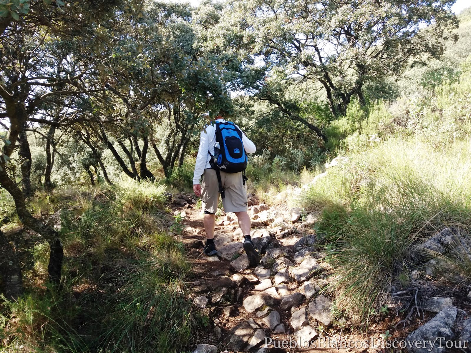
The first stretch is an easy walk along a farm road, which leads you through an olive grove.


In autumn the olive-trees are full of fruit and they are ready to be picked.


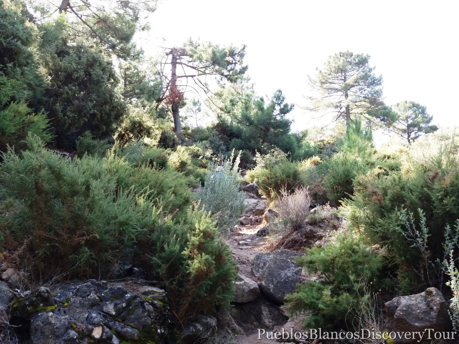
At approx. 1,7 km we left the farm road and turned towards the right in direction to a pine forest.

On the way we passed an old cortijo (farm house).


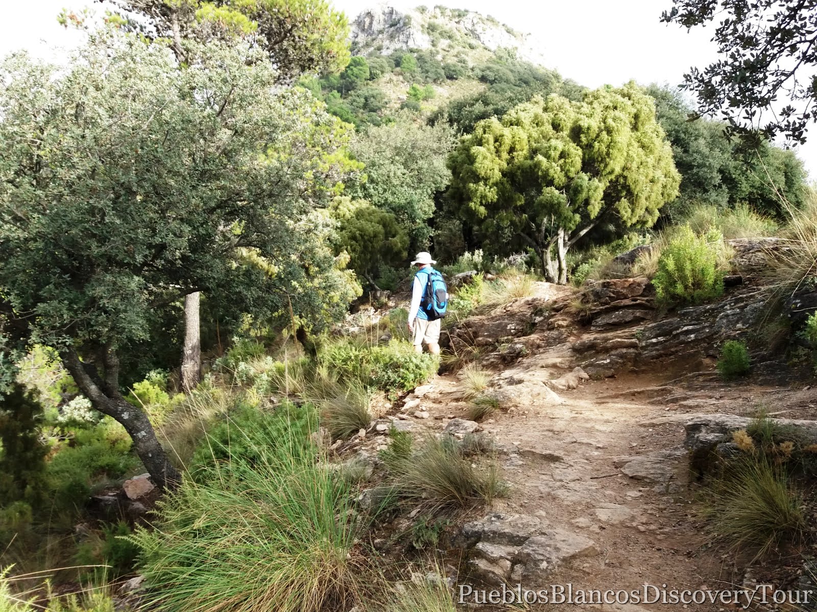
The track leads you into a forest of Monterey pines.

As you walk through the lush forest you hear the wind rustling in the branches.

These Monterey pines (Pinus radiata) stand magnificent and tall.

They can reach a mighty height of 50 meters, but not being a native tree on the Iberian peninsula, you might not find them more than 25 meters high. They grow from sea level up to 800 m altitude and the needles of 7- 15 cm long are grouped in sets of three.

A carpet of ferns cover the forest floor.

We noticed a bird house and hope it is not there to catch song birds.

At the end of the pine forest a sign directing you up hill and towards the peak of La Concha.

From now on the track is rocky and steep.


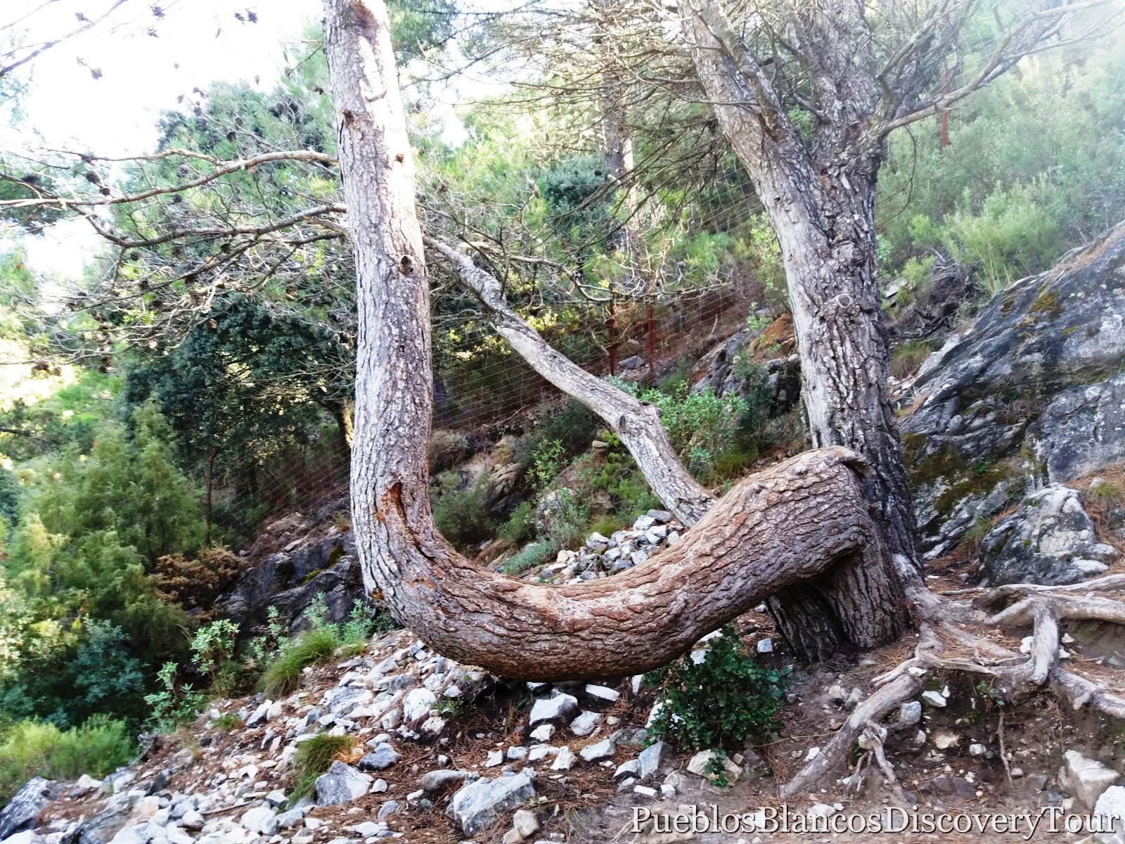
On the side of the track stands a small oak tree.

For a small tree it bore many acorns.


High above we see the peak of Cruz de Juanar.


This tree branch makes an ideal bench.
Sitting on a rock and surrounded by herbal plants like rosemary and lavender.

The red fruit of a Rose Hip bush (Escaramujo)


After about 4 km we reach Puerto Las Allanas (the plain).

From here you can take a route up to Cruz de Juanar and another track leads you down to the town of Marbella.

But we walk towards the right and along the plains which leads towards the peak of La Concha. It was very pleasant after the steep rocky terrain we left behind.

The view from whence we came and the peak of Cruz de Juanar.

The peak of Cruz de Juanar (1178 m)

In the far distance we are able to see our destination.

Soon after the track got rockier again and we followed it carefully as it led us through dense vegetation.

You could get easily lost if you leave the track.

We reached a height over a 1 000 meters and the vegetation is fairly dense and varied. The plants have adapted to this harsh and rugged terrain.
 |
| Esparto or Halfah grass |
 |
| Rosemary (Romero) |

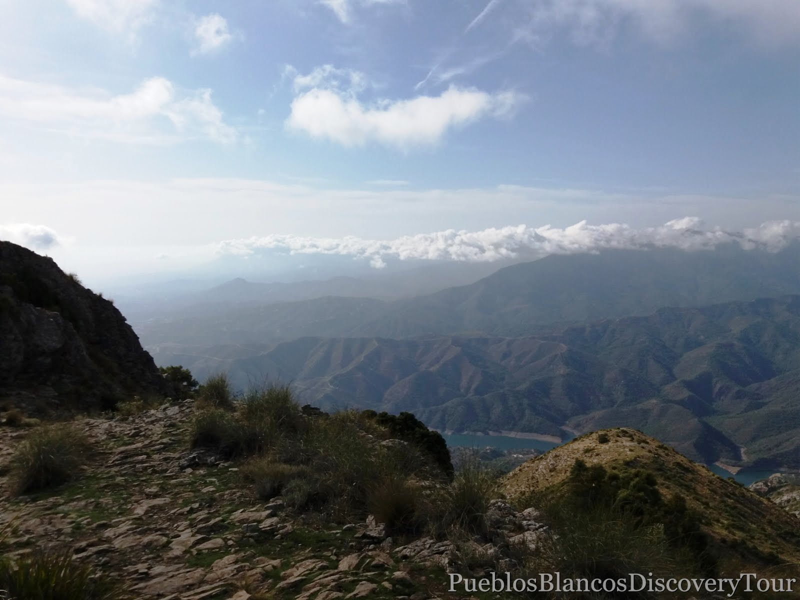
From up here the panoramic views are stunning and on clear days the African coast is visible.

Deep down we see the Mediterranean coast and

the town of Marbella.


Someone has piled up some wood, ready to be taken.


Steadily we push on.

The walk along the ridge is pleasant and you enjoy the panoramic views along the way.


The route from whence we came and the peak of Cruz de Juanar.

This view takes you towards the east and beyond Cruz de Juanar. You are able to see the mountains by Coín and maybe on clear day, you are able to see the Sierra Nevada.


The view along a deep valley towards the town of Marbella.

The trail leads us gently uphill and as we climb higher we noticed that the vegetation becomes more scarce.

Only Esparto Grass and some thorny bushes like Genisteae (Genista), Cistaeae (Jara blanca), Dwarf Fan Palm (Palmera enana) can withstand this rocky, harsh terrain.
 |
| Halfa grass, Esparto (Stipa tenacissima) |
 |
| Dwarf Fan Pal, Palmera enana, (Chamaerops humilis) |

A pile of rocks signalling to us that we are on the right trail.

This pole also indicates that you are on the right track.


From now on we reach a more challenging part of the route which takes you to the north-side of Salto de Lobo (1225 m) and along a steep cliff.

This track is not for the faint hearted and you must be sure of every step you take.


This view takes you towards the north and the Sierra de las Nieves
with Torrecilla (1919 m) its highest point.

A painted rock indicating that you are following the right track.

Man made rock piles are sometime more visible.

A chain helps you to pass the steep terrain more easily.

The view along a deep ravine towards the coast of Marbella.

As we look back we can barely see the track we have just came along.

Ahead of us lays Lastonar (1275 m) which is the highest peak in the Sierra Blanca.

Again we walk along the ridge facing the coast.

We follow the trail through high shrub.

Suddenly we find our-self on a high plateau.


And here we are, we found the ideal picnic spot.

Sitting here gives you the feeling of being on top of the world!

As we take a well deserved rest we enjoy 360 º views.


One more stone for the pile of rock

and we pressed on because the weather is closing in.


This view takes you east along the ridge from whence we came from.


The clouds are coming up fast, we have reached our destination for today.


360º panoramic views are quite stunning.


Birdseye view of the town of Marbella,


We headed to another rock pile further up.


And there we saw a sign directing us towards Marbella.

Maybe a quick route down??


Someone left his signature behind.

Amongst the rocks a lonely mushroom.

The view to the north towards the Sierra de las Nieves by Ronda.

From up here you are able to get a glimpse of the turquoise lake of the Reservoir La Conceptión.

To the right of the lake you find the village of Istán.


A last good look down towards the coast

and then we make our way back.

Soon we found our-selves walking amongst the clouds.
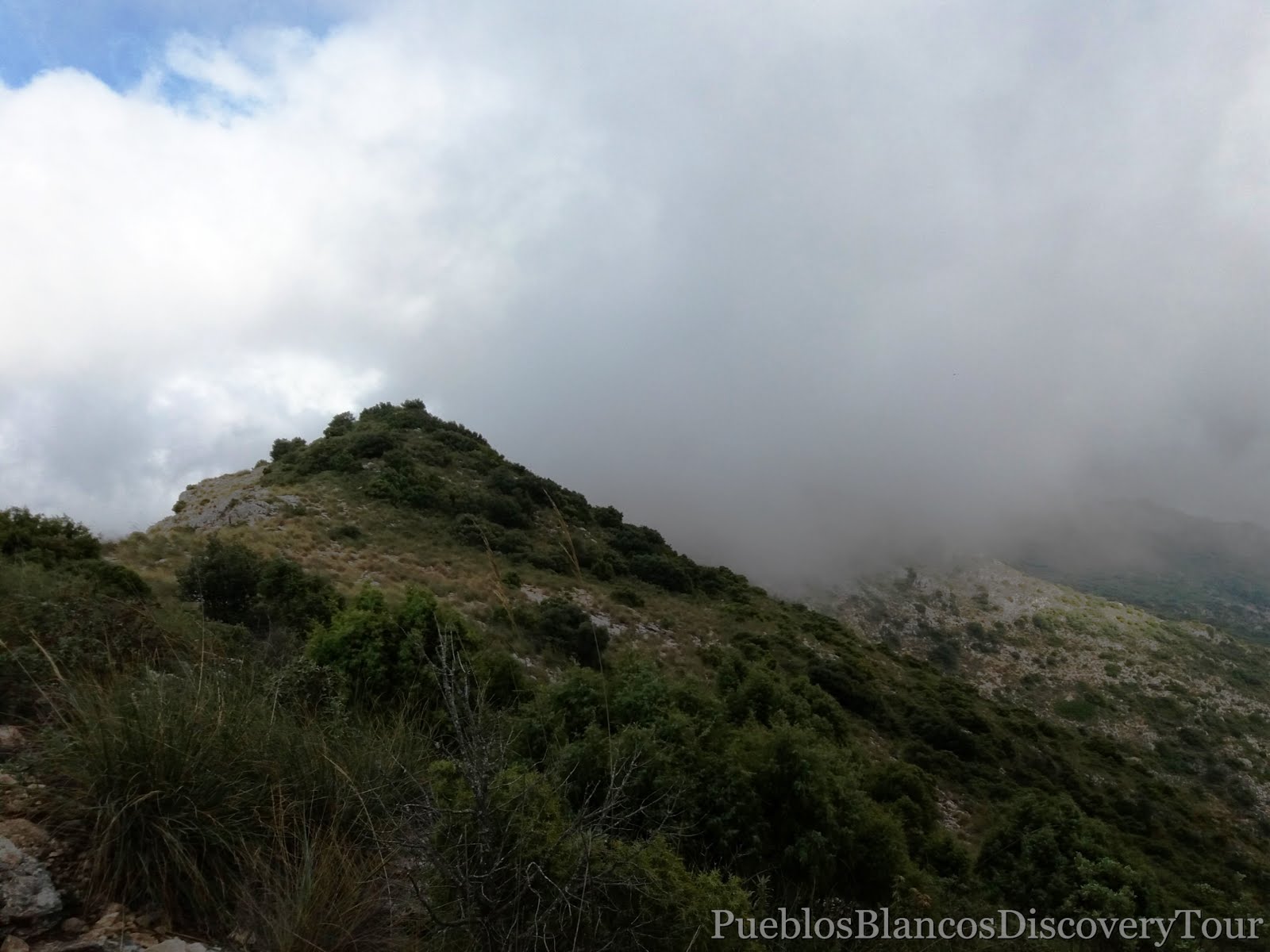
It was a bit eerie as we walked through the mist!

but we made it safely across the Salto de Lobo pass.

Cruz de Juanar is ahead of us now.


We pass a familiar sight.

At Puerto Allanas we turned left down towards Refugio de Juanar.
We seemed the only ones on this path.

but across the fence we noticed some mountain goats.
Spanish or Iberian Ibex, Cabra del Monte.

It was the mother with her kids.

We stood quietly and watched as they were staring at us, but sadly we had to leave.

A last look up towards Cruz de Juanar

and then, we were happy to be on safer ground again.


The map of the hiking trail
 |
| Click on link: Wikiloc: Refugio de Juanar to La Concha |
How to get to Refugio de Juanar.

No comments:
Post a Comment